This project was conducted by Zhihua (Neal) Jia with support from Dr. Tim French, Jonathan Knipsel, and Professors Durham and Hodkiewicz.
Most modern Virtual Reality (VR) Technologies are capable of providing a fully 3D and immersive view of 3D objects through the use of stereoscopic displays and head-tracking. With the arrival of lower cost Head Mounted Displays (HMDs) such as the Oculus Rift, there is a growing interest in using such set-ups to visualise 3D geology and mining data. Software vendors have also begun to release new products in an attempt to leverage VR’s capabilities to enhance 3D data visualisation functionality.
Due to this, the effectiveness of VR for visualising 3D geological and mining data is becoming an active area of research interest. This project investigates the benefits a HMD would bring to 3D geological interpretation and visualisation tasks as compared to using a standard computer monitor.
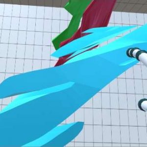
Specific geological visualisation functionalities are identified through discussion with industry and review of the literature. These functionalities are built into a VR application by the author. The resulting application uses an Oculus Rift as the display device and a Leap Motion controller as the input device. This application was tested by industry professionals, academics and students with mining or geology backgrounds through completing a 3D geological data interpretation task. Each participant completed the task on both the VR system and on a standard computer monitor. Additionally, each participant was surveyed regarding which system they believed to be more effective to use and whether they would incorporate a VR application in their current workflow if it were available.
On average, participants believe that using the Oculus Rift made it easier for them to determine the relative size of 3D objects and gave them a better understanding of the data than a standard computer screen. Participants also believed a virtual reality view of their data would add value to their geological or mining visualisation tasks and would hence use it within their current workflow were it available.